⚠ 這是歷史版本頁面 — 查看 Agisoft Metashape 2.3.1 (64-bit) 最新版本 →

Agisoft Metashape 2.1.0 (32-bit)
v 2.1.0 (32-bit)
Windows
商業試用
8.48/10 (41)
- 目前版本2.1.0 (32-bit)
- 更新日期2023-10-19
- 檔案大小61.26 MB
- 檔案名稱metashape_2_1_0_x86.msi
- 作業系統Windows 7 64 / Windows 8 64 / Windows 10 64 / Windows 11
- 支援語系English
- 授權型式商業試用
- 開發商 Agisoft
- 軟體分類Windows 軟體 / 影像設計
##
編輯短評
Agisoft Metashape 是一套專業級的攝影測量工具,核心功能是將大量重疊拍攝的照片轉換成精確的 3D 模型與點雲資料,無論是地面相機陣列拍攝,還是無人機航拍大範圍地景,都能在軟體中完成對齊、建密集點雲、生成網格與紋理等完整流程。它最鮮明的特色在於把過去需要高階測繪設備的工作,簡化為「拍照→運算→出模型」的單一軟體方案,在遊戲、電影特效與科學研究等領域都有實際應用。這套軟體由俄羅斯 Agisoft 公司開發,自推出以來持續更新,近一年內仍維持多次版本釋出,屬於同類工具中長期維護且評價普遍不錯的選擇。
這套軟體適合需要產出高精度 3D 模型的專業工作者,像是建築測繪、文化遺產數位保存、工程監測,或是遊戲與影視的場景重建等情境。與 Adobe Photoshop 或 Google Earth 這類影像編輯或地圖瀏覽工具相比,Metashape 的定位完全不同,它專注於從照片運算 3D 幾何資料,而非單純的影像處理或地理檢視,因此若你的需求是「把照片變成可編輯的 3D 模型」,它會是更對口的選擇。需要注意的是,目前提供的是試用版,且僅支援英文介面,操作上需要一些攝影測量與 3D 建模的基礎概念,初次使用可能得花時間熟悉工作流程。
##
翻譯排程處理中,以下暫以英文原文呈現
軟體介紹
Agisoft Metashape (PhotoScan) is a high-end professional tool for photogrammetry, a process of capturing 3D object information by taking simultaneous photographs from either the array of photo cameras or large framerate capturing of landscape areas using UAV flights.
Developed by the Agisoft LLC from St. Petersburg, Russia, this comprehensive solution has quickly found its way not only in multimedia productions of numerous sizes (from small indie videogames to large AAA gaming projects and Hollywood films), but also real-word 3D capturing project pipelines created by various branches of science and UAV data-collection companies.
Today, this photogrammetry pipeline is particularly popular in the field of archeology, helping scientists to record the structure and exact definition of the excavation area, from large scale, scans to the ultra-detailed recordings of the individual objects or areas.
Developed as standalone software that can fit the needs of all of its customers, Agisoft Metashape Pro can easily process the photogrammetric digital images and create detailed 3D spatial data that can be easily exported into other programs.
With built in-tools and procedures for fast deployment in both studio and outdoor environments, PhotoScan 64 bit can be deployed in various GIS applications, cultural heritage documentation, visual effects production, and even ultra-precise indirect measurements of objects no matter their scale.
It supports features such as Photogrammetric triangulation, point cloud editing and classification, comprehensive support for ground control points and georeferenced orthomosaic export, streamlined 3D model generation and texturing, panorama stitching, network and more.
Agisoft Metashape 64 bit is available in two packages – Standard version that is well-suited for many interactive media tasks, and Pro version that can handle large-scale GIS content.
The app is optimized for Windows OS (32-bit and 64-bit), Linux and macOS, and can be downloaded and tested for FREE under a fully-featured 30-day trial license.
How to Use
Agisoft Metashape Professional Edition: Node-locked license for $3,499.
Agisoft Metashape Standard Edition: Node-locked license for $179.
System Requirements
Download Agisoft Metashape Latest Version Why is this app published on FileHorse? (More info)
Developed by the Agisoft LLC from St. Petersburg, Russia, this comprehensive solution has quickly found its way not only in multimedia productions of numerous sizes (from small indie videogames to large AAA gaming projects and Hollywood films), but also real-word 3D capturing project pipelines created by various branches of science and UAV data-collection companies.
Today, this photogrammetry pipeline is particularly popular in the field of archeology, helping scientists to record the structure and exact definition of the excavation area, from large scale, scans to the ultra-detailed recordings of the individual objects or areas.
Developed as standalone software that can fit the needs of all of its customers, Agisoft Metashape Pro can easily process the photogrammetric digital images and create detailed 3D spatial data that can be easily exported into other programs.
With built in-tools and procedures for fast deployment in both studio and outdoor environments, PhotoScan 64 bit can be deployed in various GIS applications, cultural heritage documentation, visual effects production, and even ultra-precise indirect measurements of objects no matter their scale.
It supports features such as Photogrammetric triangulation, point cloud editing and classification, comprehensive support for ground control points and georeferenced orthomosaic export, streamlined 3D model generation and texturing, panorama stitching, network and more.
Agisoft Metashape 64 bit is available in two packages – Standard version that is well-suited for many interactive media tasks, and Pro version that can handle large-scale GIS content.
The app is optimized for Windows OS (32-bit and 64-bit), Linux and macOS, and can be downloaded and tested for FREE under a fully-featured 30-day trial license.
How to Use
- Install Agisoft Metashape on your PC
- Launch the application and create a new project
- Import your photos into the workspace
- Align photos to generate sparse point cloud
- Build dense point cloud from aligned images
- Generate mesh model from dense point cloud
- Create texture and build DEM/orthomosaic
- Export your 3D model or mapping data
- Both support key photogrammetry features like triangulation, dense point clouds, and textured 3D model creation.
- The Professional edition adds DSM/DTM generation, orthomosaic creation, and georeferencing with flight logs or GCPs.
- It also includes support for markers, scale bars, and automated target detection.
- Both editions handle frame, fisheye, and spherical/cylindrical cameras, plus video input.
- Professional supports multi-camera setups, multispectral/thermal imagery, LiDAR, satellite images, and scanned photos.
- Only the Professional edition allows advanced measurements, vegetation index calculations, and power line detection.
- It includes tools for classifying point clouds, generating contour lines, editing DEMs and seamlines.
- Automation in the Professional edition includes batch processing, Python scripting, and headless operation.
- For large datasets, it offers GPU acceleration, tiled models, network and cloud processing.
- Special features include panorama stitching, texture map generation, 4D modeling, and site mission planning.
- Professional also supports video rendering, 3D PDF export, online sharing, and Agisoft Viewer.
- Licensing options include trials, perpetual and floating licenses, and service provider plans.
Agisoft Metashape Professional Edition: Node-locked license for $3,499.
Agisoft Metashape Standard Edition: Node-locked license for $179.
System Requirements
- OS: Windows 11, 10, 8 or 7 (64-bit)
- CPU: Intel or AMD with 64-bit support
- RAM: 8 GB minimum (16 GB recommended)
- GPU: OpenGL 4.1 compatible graphics card
- Storage: 20 GB of free hard disk space
- Display: 1280x1024 resolution or higher
- Accurate photogrammetry results
- Easy to use with intuitive UI
- Extensive export format options
- Strong automation with Python API
- Works offline, no internet needed
- High system resource usage
- Limited real-time processing
- Expensive for professional license
- Long processing time on big datasets
Download Agisoft Metashape Latest Version Why is this app published on FileHorse? (More info)
##
畫面截圖
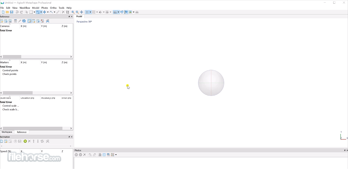
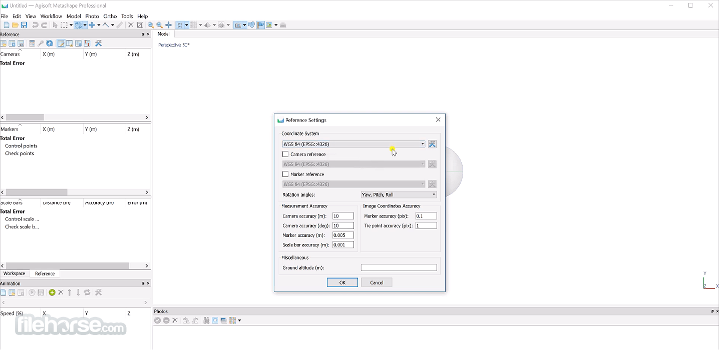
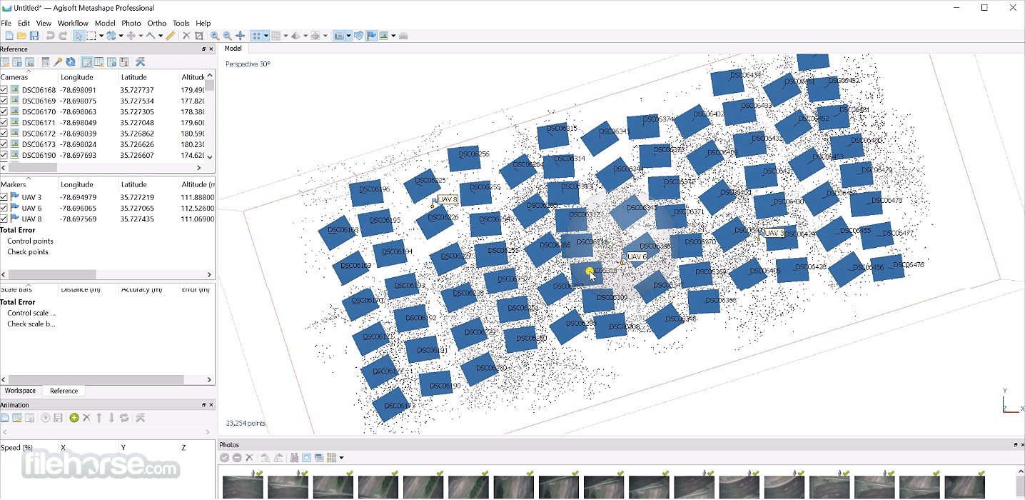
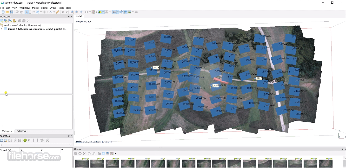
- 2026-04-29 Agisoft Metashape 2.3.1 (64-bit) 101.72 MB
- 2025-10-22 Agisoft Metashape 2.3.0 (64-bit) 86.72 MB
- 2025-10-05 Agisoft Metashape 2.2.2 (64-bit) 85.77 MB
- 2025-07-13 Agisoft Metashape 2.2.1 (64-bit) 85.36 MB
- 2024-10-07 Agisoft Metashape 2.2.0 (32-bit) 84.12 MB
- 2024-10-07 Agisoft Metashape 2.2.0 (64-bit) 107.25 MB
- 2024-07-18 Agisoft Metashape 2.1.2 (32-bit) 62.34 MB
- 2024-07-18 Agisoft Metashape 2.1.2 (64-bit) 76.4 MB