⚠ 這是歷史版本頁面 — 查看 QGIS 最新版本 →

- 目前版本3.38.3
- 更新日期2024-09-18
- 檔案大小1.2 GB
- 檔案名稱QGIS-OSGeo4W-3.38.3-1.msi
- 作業系統Windows 7 / Windows 8 / Windows 10
- 支援語系English
- 授權型式開源軟體
- 開發商 Gary Sherman
- 軟體分類Windows 軟體 / 影像設計
##
編輯短評
QGIS 是一套開源的地理資訊系統,專注於空間資料分析、製圖與地理資料管理,能處理向量與網格格式的圖資。它最大的辨識度在於支援超過兩千種外掛模組,讓使用者能依需求擴充功能,從基本繪圖到複雜的空間運算都能勝任。這套軟體由全球志願者社群長期維護,更新相當活躍,在同類工具中已是主流首選,常被視為商業 GIS 軟體的主要替代方案。
如果你需要處理地理資料、製作主題地圖或進行空間分析,又不想負擔昂貴的授權費,QGIS 會是務實的選擇。它與 ArcGIS 等商業軟體相比,功能完整度毫不遜色,但操作介面與部分工作流程需要一些學習曲線;此外,官方僅提供英文介面,中文使用者可能得依賴社群翻譯或自行調整。軟體本身為開源授權,可自由下載使用,並同時支援 Windows、macOS 與 Linux 平台,適合學術研究、政府單位或個人專案長期採用。
##
翻譯排程處理中,以下暫以英文原文呈現
軟體介紹
QGIS (Quantum Geographic Information System) is an open-source Geographic Information System that provides powerful tools for spatial data analysis, cartography, and geospatial data management.
Developed by a global community of volunteers and maintained under the GNU General Public License, QGIS for Windows has become a premier alternative to proprietary GIS software like ESRI’s ArcGIS.
Available for Windows, macOS, and Linux, QuantumGIS enables users to create, visualize, edit, and analyze geospatial information in both vector and raster formats.
It supports a wide range of plugins (2000+ plugins developed by community), offers integration with other open-source GIS packages like GRASS and SAGA, and is widely used in sectors such as urban planning, environmental science, government, and academia.
Key Features
Layer Support: Handles vector, raster, mesh, and point cloud data layers with customizable symbology.
Attribute and Spatial Data Editing: Edit geometries and attribute tables with a wide array of tools.
Geoprocessing Tools: Access hundreds of tools for spatial analysis, buffering, overlays, and data transformations.
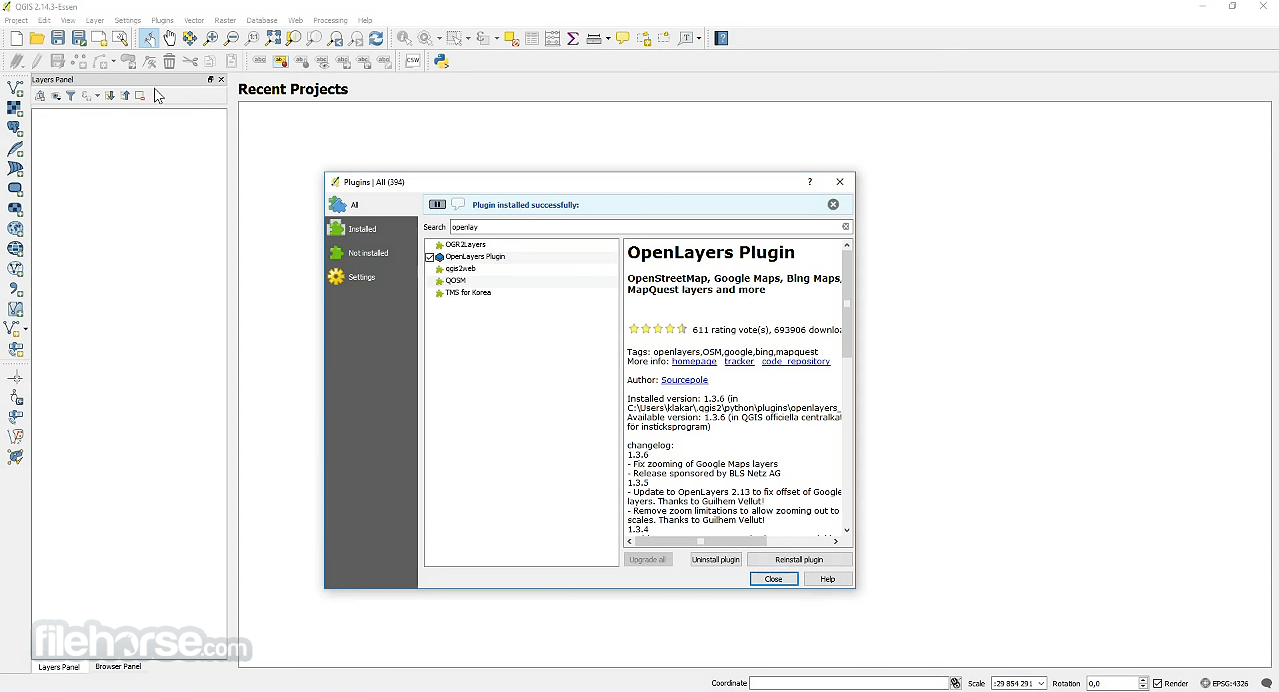
Plugins Architecture: Use or develop Python-based plugins to expand core functionality.
Map Composer: Create high-quality print layouts with legends, scale bars, and grid overlays.
Data Interoperability: Supports standard geospatial formats (e.g., GeoTIFF, GeoJSON, KML, Shapefiles, PostGIS, SpatiaLite).
Coordinate Reference System (CRS) Management: Robust support for projections and transformations.
3D Visualization: View and interact with 3D terrain and layers.
Python Scripting: Automate workflows using PyQGIS.
Integration: Works with GRASS GIS, SAGA, PostgreSQL/PostGIS, and WMS/WFS web services.
User Interface
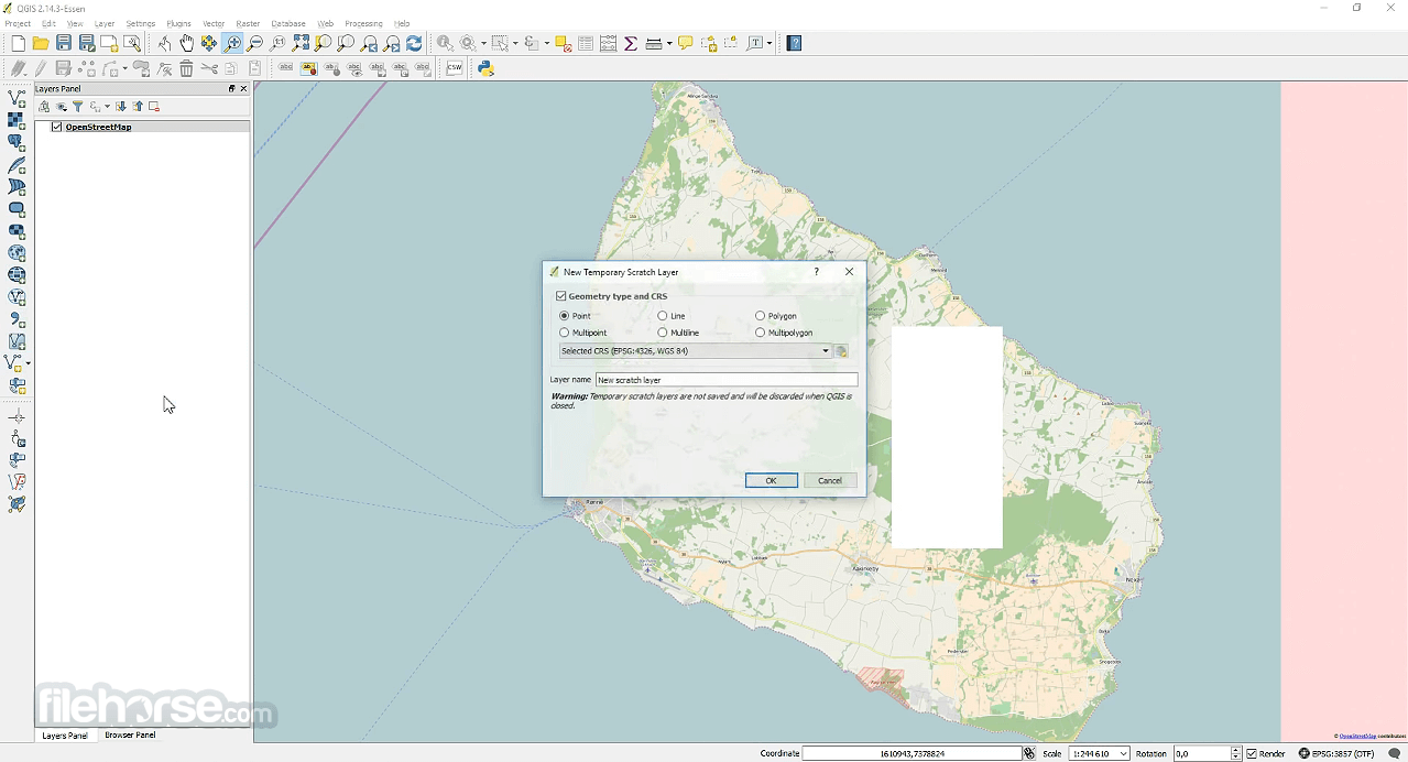
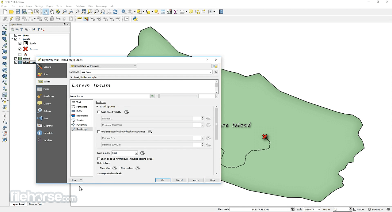
The program features a highly customizable user interface with dockable panels and toolbars. Upon launching the application, you are presented with a clean canvas workspace surrounded by layers panels, toolboxes, and menu options.
The UI may seem overwhelming for beginners, but it is thoughtfully organized, and each panel can be toggled or rearranged to fit user preferences.
The QuantumGIS interface supports dark mode and multiple themes, and advanced users can configure custom keyboard shortcuts and macros to enhance productivity.
It also offers a simplified user interface mode for new users who want a lighter experience.
Installation and Setup
How to Use
Load Data: Add vector (e.g., Shapefiles, GeoJSON) or raster data (e.g., GeoTIFFs) from your local system or online sources (WMS/WFS).
Explore Layers: Use the Layers Panel to toggle visibility, change styles, or access attribute tables.
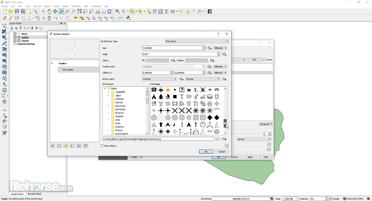
Symbology and Labeling: Apply styles, labels, and classifications using built-in or custom rule-based rendering.
Spatial Analysis: Use tools like buffer, dissolve, clip, or intersect from the Processing Toolbox.
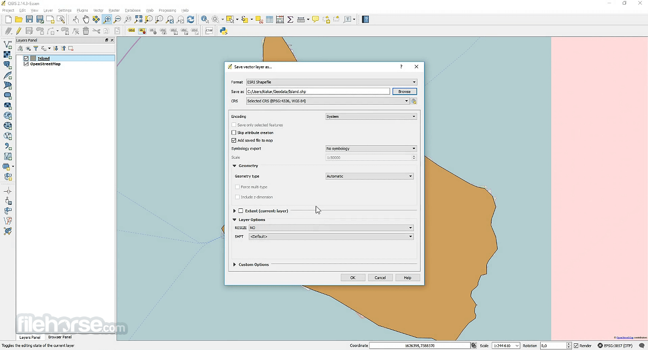
Edit Features: Toggle editing mode to create or modify features manually.
Create Maps: Use the Layout Manager to design map compositions and export to PDF or image formats.
Automate Tasks: Use the Python Console or Processing Modeler to script and automate workflows.
FAQs
Is QGIS free to use?
Yes, this software is 100% free and open-source under the GNU General Public License.
Can I use QGIS offline?
Absolutely. Once installed, it runs entirely offline unless you use online datasets like WMS or WFS layers.
Does QGIS support satellite imagery?
Yes. It can load raster imagery, including satellite data like GeoTIFFs, and even connect to online satellite imagery providers via plugins.
Can QGIS replace ArcGIS?
For many users, yes. While ArcGIS offers proprietary tools and advanced enterprise integrations, it provides robust capabilities and a wide plugin ecosystem that competes strongly for most GIS needs.
Is QGIS beginner-friendly?
It has a learning curve, but its user community, extensive documentation, and online tutorials make it approachable for motivated beginners.
Alternatives
MapInfo Pro: A desktop GIS application with powerful spatial analysis tools.
Google Earth Pro: Offers limited GIS functions but excels in visualization and ease of use.
Global Mapper: Global Mapper is a versatile GIS software known for its robust data processing capabilities and intuitive interface.
Pricing
The software is entirely FREE. There are no licenses, subscriptions, or premium features. Its development is supported by community contributions and public funding.
Some organizations offer paid support and training for enterprise users, but the software itself remains free.
System Requirements
Minimum Requirements
QGIS stands out as the most capable free GIS platform available today. With its extensive features, active community, and open-source philosophy, it empowers users to perform complex spatial analysis, mapping, and data visualization without the cost barriers of commercial software.
Also Available: Download QGIS for Mac
Download QGIS Latest Version Why is this app published on FileHorse? (More info)
Developed by a global community of volunteers and maintained under the GNU General Public License, QGIS for Windows has become a premier alternative to proprietary GIS software like ESRI’s ArcGIS.
Available for Windows, macOS, and Linux, QuantumGIS enables users to create, visualize, edit, and analyze geospatial information in both vector and raster formats.
It supports a wide range of plugins (2000+ plugins developed by community), offers integration with other open-source GIS packages like GRASS and SAGA, and is widely used in sectors such as urban planning, environmental science, government, and academia.
Key Features
Layer Support: Handles vector, raster, mesh, and point cloud data layers with customizable symbology.
Attribute and Spatial Data Editing: Edit geometries and attribute tables with a wide array of tools.
Geoprocessing Tools: Access hundreds of tools for spatial analysis, buffering, overlays, and data transformations.
Plugins Architecture: Use or develop Python-based plugins to expand core functionality.
Map Composer: Create high-quality print layouts with legends, scale bars, and grid overlays.
Data Interoperability: Supports standard geospatial formats (e.g., GeoTIFF, GeoJSON, KML, Shapefiles, PostGIS, SpatiaLite).
Coordinate Reference System (CRS) Management: Robust support for projections and transformations.
3D Visualization: View and interact with 3D terrain and layers.
Python Scripting: Automate workflows using PyQGIS.
Integration: Works with GRASS GIS, SAGA, PostgreSQL/PostGIS, and WMS/WFS web services.
User Interface
The program features a highly customizable user interface with dockable panels and toolbars. Upon launching the application, you are presented with a clean canvas workspace surrounded by layers panels, toolboxes, and menu options.
The UI may seem overwhelming for beginners, but it is thoughtfully organized, and each panel can be toggled or rearranged to fit user preferences.
The QuantumGIS interface supports dark mode and multiple themes, and advanced users can configure custom keyboard shortcuts and macros to enhance productivity.
It also offers a simplified user interface mode for new users who want a lighter experience.
Installation and Setup
- Download the QGIS Standalone Installer for Windows.
- Launch the installer and follow the step-by-step instructions.
- Optionally, install the OSGeo4W network installer for advanced installation with additional packages.
How to Use
Load Data: Add vector (e.g., Shapefiles, GeoJSON) or raster data (e.g., GeoTIFFs) from your local system or online sources (WMS/WFS).
Explore Layers: Use the Layers Panel to toggle visibility, change styles, or access attribute tables.
Symbology and Labeling: Apply styles, labels, and classifications using built-in or custom rule-based rendering.
Spatial Analysis: Use tools like buffer, dissolve, clip, or intersect from the Processing Toolbox.
Edit Features: Toggle editing mode to create or modify features manually.
Create Maps: Use the Layout Manager to design map compositions and export to PDF or image formats.
Automate Tasks: Use the Python Console or Processing Modeler to script and automate workflows.
FAQs
Is QGIS free to use?
Yes, this software is 100% free and open-source under the GNU General Public License.
Can I use QGIS offline?
Absolutely. Once installed, it runs entirely offline unless you use online datasets like WMS or WFS layers.
Does QGIS support satellite imagery?
Yes. It can load raster imagery, including satellite data like GeoTIFFs, and even connect to online satellite imagery providers via plugins.
Can QGIS replace ArcGIS?
For many users, yes. While ArcGIS offers proprietary tools and advanced enterprise integrations, it provides robust capabilities and a wide plugin ecosystem that competes strongly for most GIS needs.
Is QGIS beginner-friendly?
It has a learning curve, but its user community, extensive documentation, and online tutorials make it approachable for motivated beginners.
Alternatives
MapInfo Pro: A desktop GIS application with powerful spatial analysis tools.
Google Earth Pro: Offers limited GIS functions but excels in visualization and ease of use.
Global Mapper: Global Mapper is a versatile GIS software known for its robust data processing capabilities and intuitive interface.
Pricing
The software is entirely FREE. There are no licenses, subscriptions, or premium features. Its development is supported by community contributions and public funding.
Some organizations offer paid support and training for enterprise users, but the software itself remains free.
System Requirements
Minimum Requirements
- OS: Windows 11 or Windows 10 (64-bit)
- CPU: 2 GHz dual-core processor
- RAM: 4 GB
- Storage: 1 GB free disk space
- GPU: Integrated graphics
- CPU: 2.5+ GHz multi-core processor
- RAM: 8 GB or more
- GPU: Dedicated graphics card (for 3D rendering and large datasets)
- Display: 1920×1080 resolution
- Completely free and open-source
- Extensive plugin ecosystem
- Supports multiple data formats and standards
- Integration with GRASS, SAGA, and PostGIS
- Regular updates and strong community support
- Interface can feel cluttered at first
- Some tools slower than commercial alternatives
- Occasional bugs in plugin compatibility
- Limited official customer support (community-based)
QGIS stands out as the most capable free GIS platform available today. With its extensive features, active community, and open-source philosophy, it empowers users to perform complex spatial analysis, mapping, and data visualization without the cost barriers of commercial software.
Also Available: Download QGIS for Mac
Download QGIS Latest Version Why is this app published on FileHorse? (More info)
##
畫面截圖
- 2026-08-11 QGIS 4.2.1 583 MB
- 2026-07-10 QGIS 4.2.0 590 MB
- 2026-06-02 QGIS 4.0.3 572 MB
- 2026-05-07 QGIS 4.0.2 574 MB
- 2026-04-15 QGIS 4.0.1 522 MB
- 2026-04-10 QGIS 3.44.9 541 MB
- 2026-03-19 QGIS 3.44.8 1.3 GB
- 2026-01-29 QGIS 3.44.7 1.3 GB