⚠ 這是歷史版本頁面 — 查看 MapInfo Pro 最新版本 →

- 目前版本2019
- 更新日期2020-01-06
- 檔案大小2 GB
- 檔案名稱MapInfoPro_2019.zip
- 作業系統Windows 7 64 / Windows 8 64 / Windows 10 64
- 支援語系English
- 授權型式商業試用
- 開發商 Precisely
- 軟體分類Windows 軟體 / 影像設計
##
編輯短評
MapInfo Pro 是一套歷史悠久的專業地理資訊系統(GIS)軟體,自八零年代問世以來持續演進,主要協助 Windows 桌面使用者進行地圖繪製、空間資料擷取、分析與視覺化。它的核心價值在於把複雜的座標與屬性資料轉換成易懂的圖層與報表,讓使用者能從中找出空間上的規律與趨勢。這套軟體由 Precisely 公司長期維護,目前仍持續更新,但更新步調不算頻繁;在台灣的能見度不如一般影像軟體,評價人數不多,但既有使用者普遍給予不錯的評價,屬於專業領域中的老牌工具。
這套軟體適合需要處理地理資料的專業人士,例如都市規劃、不動產分析、物流路徑規劃或環境監測等情境。與同類的 Google Earth 或影像編輯軟體相比,MapInfo Pro 更強調資料庫整合與空間分析能力,而非單純瀏覽或修圖,因此學習門檻較高,但換來的是更精準的製圖與分析彈性。需要注意的是,目前提供的是試用版,僅支援 Windows 平台,且介面語系只有英文,對於不熟悉英文操作介面的使用者來說,可能需要額外適應。若你只是偶爾查看地圖,免費的瀏覽工具可能更輕量;但若需要深入處理空間資料,這套軟體仍是值得考慮的專業選擇。
##
翻譯排程處理中,以下暫以英文原文呈現
軟體介紹
MapInfo Pro is an award-winning geographic information system (GIS) software that allows Windows desktop users access to the incredible array of mapping and spatial analytics tools and services developed over several decades since this app first arrived on sale in the late 1980s.
Produced and maintained by Precisely, MapInfo Professional provides its users access to the latest tools to capture data points, process them, visualize, analyze, edit, interpret, understand, provide visual reports, and output data that can be used to easily reveal patterns, trends, and relationships.
Today, this business and engineering-focused GIS application are used extensively in the fields of Environment analysis (mapping of erosion, pollution, animal/plant species movement, climate change, human influences, etc), Insurance analysis (effects of natural disasters, demographic and risk analysis), Engineering analysis (research for construction projects), Marketing analysis (demographics, location intelligence), Telecommunication analysis (identification of coverage area, maximization of investment based on demographics), Crime, Mineral, Retail Site and other types of large-scale analysis project types.
To best serve the needs of advanced users, MapInfo app is fully capable of importing, extracting, analyzing, and sharing data with files created by other applications.
This includes file formats such as CSV and delimited ASCII text, ESRI Shapefile, AutoCAD DXF, Microsoft Excel, Microsoft Access, Bitmaps and various raster formats, Spatial database files (Oracle, PostGIS, SQL Server, SQLite, and GeoPackage), Open Geospatial Consortium Web Services, and most widely used Web-Based Maps (Bing and Open StreetMap).
Precisely MapInfo Professional is available for purchase in two distinct versions, MapInfo Pro and MapInfo Pro Advanced, which come with built-in support for advanced visualization and the ability to manage extremely large geospatial data sets.
Main Features
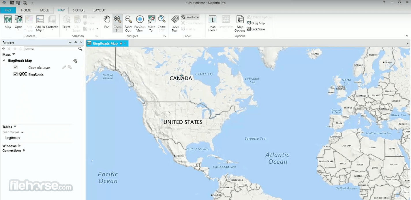
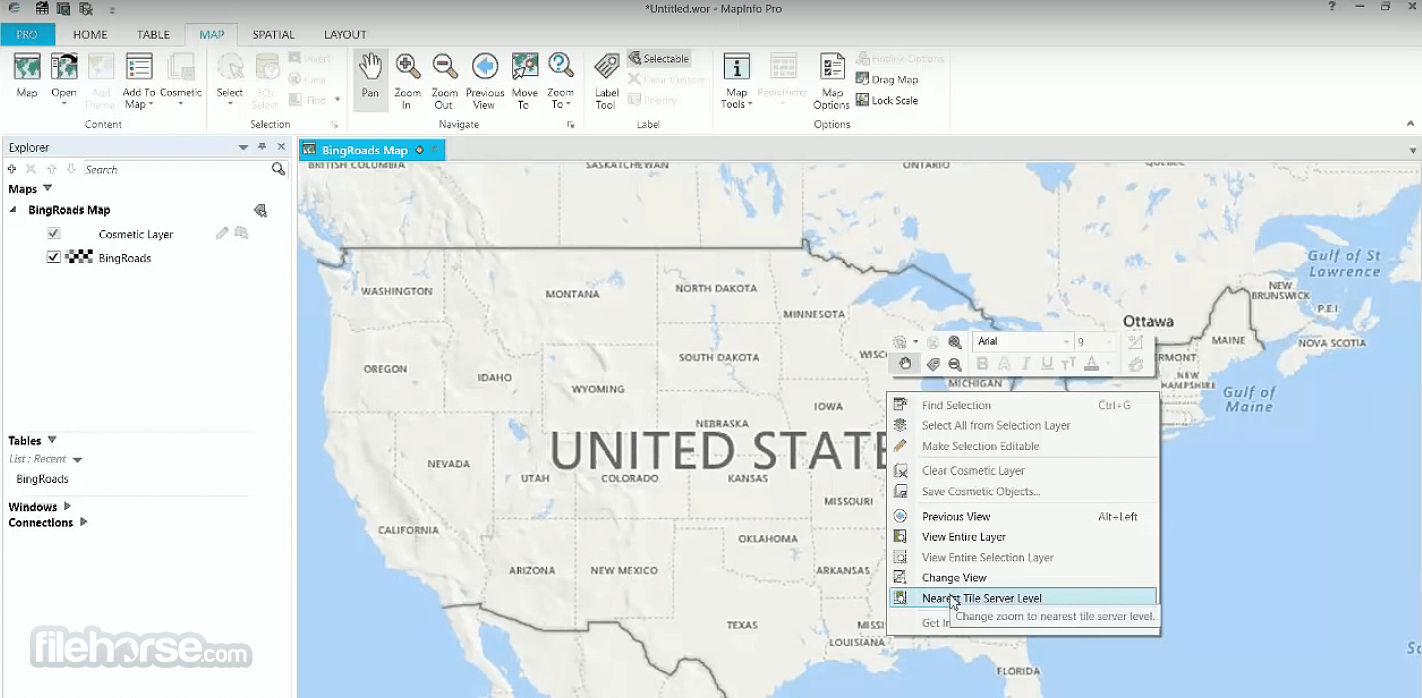
It boasts an intuitive and user-friendly interface, with a familiar ribbon-style toolbar and customizable workspace.
The interface is designed to streamline the mapping and analysis process, making it accessible to both novice and experienced users.
Installation and Setup
Installing this program is straightforward, with a guided setup wizard that walks users through the installation process step-by-step.
The software requires minimal system resources and can be installed on Windows-based PCs with ease.
Produced and maintained by Precisely, MapInfo Professional provides its users access to the latest tools to capture data points, process them, visualize, analyze, edit, interpret, understand, provide visual reports, and output data that can be used to easily reveal patterns, trends, and relationships.
Today, this business and engineering-focused GIS application are used extensively in the fields of Environment analysis (mapping of erosion, pollution, animal/plant species movement, climate change, human influences, etc), Insurance analysis (effects of natural disasters, demographic and risk analysis), Engineering analysis (research for construction projects), Marketing analysis (demographics, location intelligence), Telecommunication analysis (identification of coverage area, maximization of investment based on demographics), Crime, Mineral, Retail Site and other types of large-scale analysis project types.
To best serve the needs of advanced users, MapInfo app is fully capable of importing, extracting, analyzing, and sharing data with files created by other applications.
This includes file formats such as CSV and delimited ASCII text, ESRI Shapefile, AutoCAD DXF, Microsoft Excel, Microsoft Access, Bitmaps and various raster formats, Spatial database files (Oracle, PostGIS, SQL Server, SQLite, and GeoPackage), Open Geospatial Consortium Web Services, and most widely used Web-Based Maps (Bing and Open StreetMap).
Precisely MapInfo Professional is available for purchase in two distinct versions, MapInfo Pro and MapInfo Pro Advanced, which come with built-in support for advanced visualization and the ability to manage extremely large geospatial data sets.
Main Features
- Mapping Tools: It offers a comprehensive set of mapping tools allowing users to create detailed maps with customizable layers, styles, and symbols.
- Spatial Analysis: The software enables users to perform complex spatial analysis operations such as buffering, overlay analysis, proximity analysis, and spatial querying.
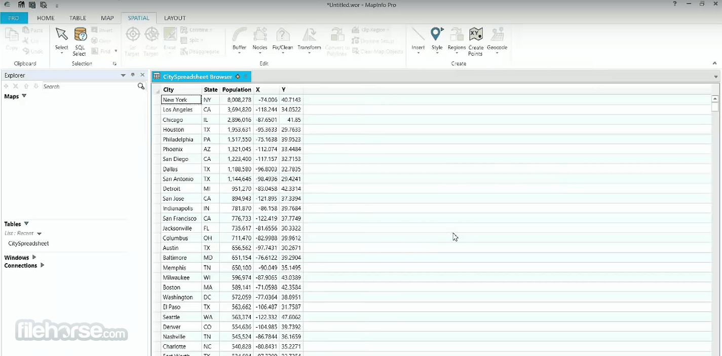
- Data Import and Export: It supports various data formats, including Shapefiles, GeoJSON, KML, and Excel, facilitating easy import and export of spatial data.
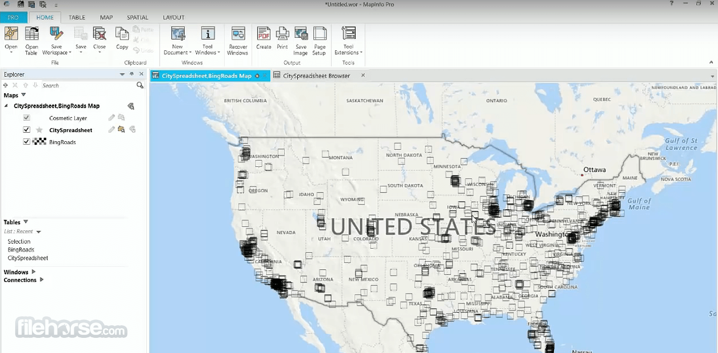
- Data Visualization: Users can visualize data using thematic mapping, heat maps, and 3D visualization, aiding in data interpretation and decision-making.
- Customization: The software allows users to customize maps and layouts, add annotations, labels, and legends, to create professional-looking outputs.
- Integration: It integrates seamlessly with other business applications such as Microsoft Office, enabling users to leverage spatial data in their everyday workflows.
It boasts an intuitive and user-friendly interface, with a familiar ribbon-style toolbar and customizable workspace.
The interface is designed to streamline the mapping and analysis process, making it accessible to both novice and experienced users.
Installation and Setup
Installing this program is straightforward, with a guided setup wizard that walks users through the installation process step-by-step.
The software requires minimal system resources and can be installed on Windows-based PCs with ease.
##
影片介紹
##
畫面截圖
- 2026-02-19 MapInfo Pro 2023 2.7 GB
- 2020-01-06 MapInfo Pro 2019 2 GB
- 2019-11-29 MapInfo Professional 17 932 MB